

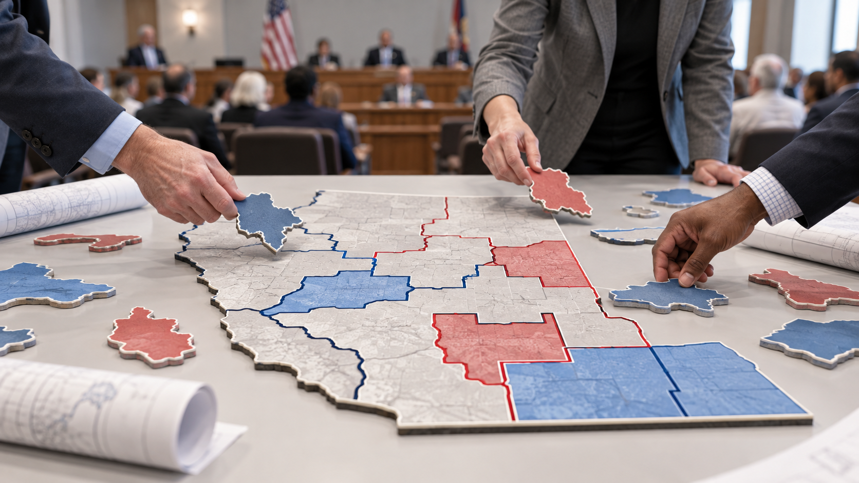
The redistricting process is how states redraw the boundaries of the districts that elect members of Congress and state legislatures, so that each district has about the same number of people.
Every ten years the Census Bureau counts everyone living in the United States. Those counts decide how many seats in the U.S. House of Representatives each state gets, and states that gain or lose seats have to redraw their congressional maps to match. Even states whose seat count stays the same usually redraw, because some areas grow while others shrink. A district that was balanced ten years ago can end up with far more residents than the district next door.
The reason districts must be close in size goes back to the Supreme Court, which ruled in 1964 that districts must be about equal in population, a rule often summarized as one person, one vote. Without it, a voter in a small district would have more say than a voter in a crowded one.
The political news that affects your wallet, your rights and your vote, broken down in plain language. Free in your inbox.
In most states the legislature draws the maps, and the governor can usually sign or veto them. Some states hand the job to a commission instead. In 2018, Michigan voters approved a constitutional amendment that created an independent citizens commission to draw congressional and legislative maps, made up of residents chosen from applications rather than elected officials. That change took the pen away from lawmakers in one of the biggest states in the country.
Who holds the pen matters because of gerrymandering, which means drawing district lines to give one party or group an advantage. Two common methods are packing and cracking. Packing puts as many of a group’s voters as possible into a few districts, so their votes pile up in lopsided wins and count for less elsewhere. Cracking splits a group’s voters across many districts so they never form a majority in any of them. Both major parties have been accused of gerrymandering when they controlled the redistricting process.
Courts and laws set some limits. Districts generally have to be about equal in population, and many states also require them to be compact and connected, meaning no oddly shaped pieces that stretch across a state. The Voting Rights Act has long been the main federal tool used to challenge maps that weaken the voting power of racial minorities, though how far it reaches is still argued in court. In 2019 the Supreme Court ruled that federal courts cannot decide whether a map is too partisan, which leaves those fights to state courts and state law.
The redistricting process usually happens once a decade, but nothing in federal law stops a state from redrawing at other times, and some states have done so. Changes to the rules for drawing maps can also come through the ballot. Voters in a state may be asked to approve an amendment to the state constitution that changes who draws the lines or what standards the lines must follow.
Maps decide who your representative is, which communities are grouped together and how much your vote can change an outcome. When a district is drawn so that one party is nearly certain to win, the real contest can end at the primary, and the general election may not feel competitive. Maps also decide whether people with shared needs, like a city neighborhood, a rural county or a college town, are kept together or split across several districts, which affects who answers for roads, schools and health care in each place. Your state election office or secretary of state can tell you which districts you live in and who draws the maps in your state.